Five Historic Portland Neighborhoods Nearly Destroyed by Highway Projects
Five old Portland neighborhoods that lost their main streets, their river access, or their middles to the freeway era, and what is left to see on foot today.
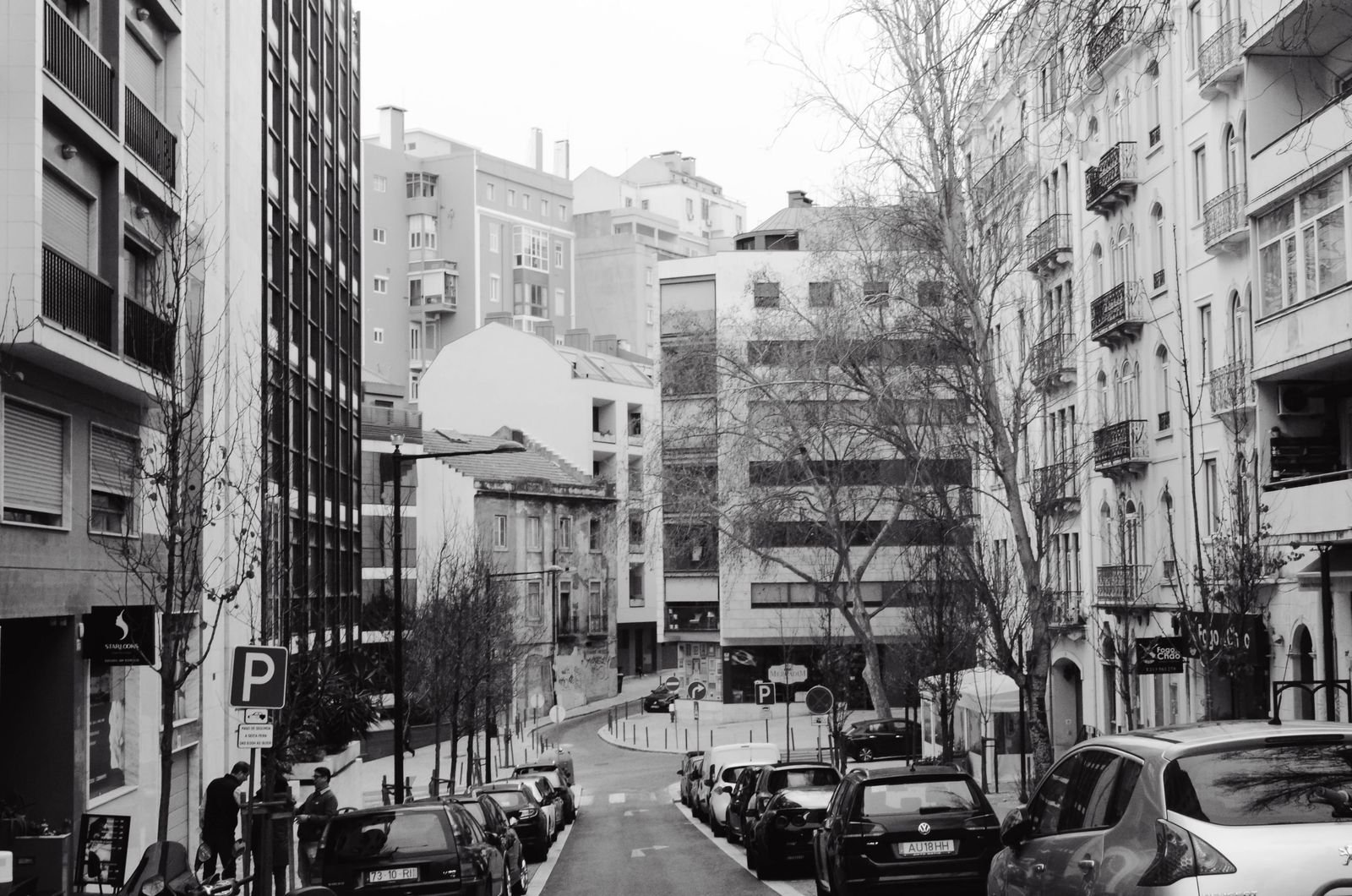
Stand at the three way corner in Lents where SE 92nd, Woodstock and Foster meet, and listen. Under the ordinary noise of a neighborhood corner there is a steady hiss from the east, like a tap left running. That is Interstate 205, a block or so away, and it has been running since the early 1980s.
I have walked the edges of every freeway in this city, which is a peculiar hobby, and the thing you learn is that the line on the map was never an accident. After the Second World War the country decided the car was the future, and the Interstate program under Eisenhower supplied the money to prove it. Before about 1950, highways came into Portland on ordinary city streets built for a fraction of the traffic. The cure was the grade separated expressway, promoted by planners in the mold of Robert Moses, who had in fact been hired to write a road plan for Portland during the war.
The suburbs got their fast commute. The bill went to the old neighborhoods in between, some of them older than the city limits that contained them. Here are five that paid it.
1. Lents
Lents began as its own town. Oliver P. Lent settled the area and his son George platted it in 1892. The local story is that the name, like Portland’s, was settled by a coin toss, with Oliver on the winning side. Portland annexed the place in 1912 and then, by most accounts, more or less forgot about it. It was far from downtown, it was working class, and it sat at the end of the streetcar line.
That mattered when the east side freeway was being drawn. Early concepts put a route much closer in, around the 39th Avenue corridor. Laurelhurst and its neighbors had lawyers, connections, and time to attend hearings. The line drifted east, mile by mile, until it reached a district with none of those things, and it went straight through the Lents town center.
What you see today:
- A commercial core that still faces a wall of freeway embankment.
- The MAX Green Line, which finally arrived in 2009 on the transit right of way that was promised when the freeway was built.
- An urban renewal district that has produced new buildings on Foster and 92nd, with mixed success.
Lents is recovering. It has also been “about to recover” for most of my adult life.
2. Downtown and Goose Hollow
Interstate 405 occupies what is probably the most valuable land of any Portland freeway. Clearance began in 1964, and when it was over more than two dozen blocks along the southern and western edges of downtown were gone, a subject I have complained about before in Five of Portland’s Biggest Mistakes.
To be fair to the engineers, they sank it. The freeway runs in a trench, and city streets cross it on bridges every block or two, so it is less of a wall than the others on this list. Walk west on SW Salmon or Jefferson and you can be over it in thirty seconds.
But look at what those thirty seconds replaced. Goose Hollow and downtown used to be one continuous piece of city, houses and apartments shading into shops and offices. Now there is a gap you hear before you see, and the blocks on either side turned their backs to it. That is why it makes the list.
3. Brooklyn
Brooklyn deserves some kind of prize. I doubt any Portland neighborhood has taken so much punishment from highway projects without ever having an actual freeway built through it.
One of the oldest districts on the east side, it was in the direct path of the Mount Hood Freeway, which would have run east through Southeast Portland along the Powell and Division corridor. Houses were bought up and cleared for it. Then the neighborhoods organized, City Hall changed its mind, and in the 1970s the project was cancelled, with much of the money redirected toward what became the first MAX line.
Brooklyn survived, but look at the condition it survived in:
- The widening of Powell Boulevard had already wiped out its town center at Powell and Milwaukie.
- McLoughlin Boulevard had cut the neighborhood off from the Willamette, which is the reason it existed in the first place.
- The Powell underpass at SE 17th, dug so that trains could keep crossing at grade above, left blocks of asphalt that no sensible person tries to cross on foot.
And yet people want to live there again. The old houses south of Powell are tidy, the taverns are full, and the light rail runs past. Stubbornness counts for a lot.
4. Albina
Albina appeared on the map in 1873 as a separate town and was folded into Portland in 1891. Today the name covers several neighborhoods in inner North and Northeast. In the middle of the twentieth century it was something more specific: the center of Black life in Portland, partly by choice and largely because housing discrimination left few other options, especially after the Vanport flood of 1948 sent thousands of people looking for somewhere to live.
When the route for the “Minnesota Freeway” was chosen (it is Interstate 5 now), planners wanted to avoid a legal fight with wealthier residents elsewhere. Albina was poor and had little pull downtown. The freeway took a strip about two blocks wide through the whole district.
It was not the only project, either. Memorial Coliseum went up on cleared land in lower Albina, and a later hospital expansion flattened blocks around Williams Avenue, some of which then sat empty for decades. Taken together, a community was moved out in installments.
Walk N Williams or Mississippi today and you will find new apartments, bike lanes and expensive ice cream. Whether that is recovery depends a great deal on whom you ask, and on whether their family used to own a house there.
5. Corbett and Lair Hill
Just south of downtown, squeezed between the West Hills and the river, Corbett and Lair Hill (now grouped under the South Portland neighborhood association) hold some of the oldest houses in the city. For generations this was an immigrant district with good views and an easy walk down to the water.
Then Interstate 5 came through on its way to the Marquam Bridge, and the walk to the water stopped. For decades you could stand on SW Corbett, see the Willamette a few hundred yards off, and have no reasonable way to reach it. Add the ramps to the Ross Island Bridge and Barbur Boulevard on the uphill side, and the neighborhood became an island of Victorian houses in a river of traffic.
The repair came in 2012 with the Gibbs Street Pedestrian Bridge, a long footbridge over the freeway that drops you by elevator or stairs into the South Waterfront. Go at dusk. The aerial tram slides overhead, the traffic roars underneath, and you get a clear lesson in how much engineering it takes to undo one bad afternoon at the drafting table.
What the five have in common
None of these places had much say. The pattern is plain enough once you line them up: the routes bent away from money and toward the districts least able to object. The neighborhoods that learned to fight, mostly in the 1970s, are the reason Southeast Portland still has its street grid.
Portland likes to tell the story of the freeways it stopped. That story is true, and I am glad of it. It is worth remembering, though, that the ones on this list were built first.
So what should be done with them now? I have a few suggestions, some serious and one involving gondolas, in Five Ideas for the Future of Portland’s Freeways.
- portland history
- freeways
- albina
- lents
- brooklyn
- goose hollow
- south portland
- urban renewal