Portland Day Trips: Larch Mountain and the Five Volcano View
Hood, St. Helens, Adams, Rainier, and Jefferson, all from one windy rock an hour east of Portland. You can hike up from Multnomah Falls. I drove.
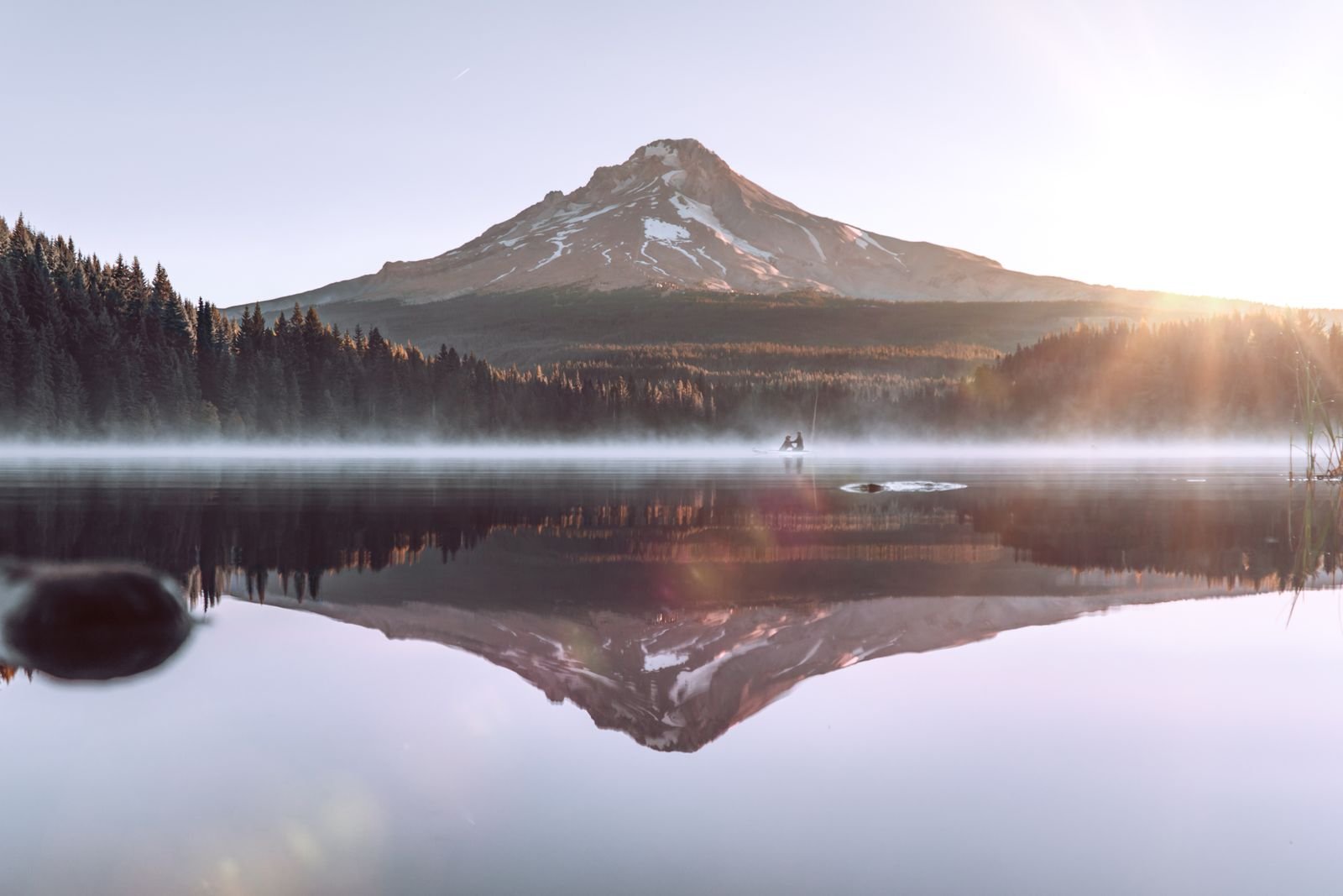
Five volcanoes from one spot is a harder trick than it sounds.
Mt. Hood and Mt. St. Helens are easy. You can see both from half the hilltops in Portland. Mt. Adams and Mt. Rainier are fussier, since the Cascade foothills block them from most low vantage points. Mt. Jefferson is the real holdout, tucked behind tall ridges to the south and visible only from the highest ground. To collect the full set you need to be standing somewhere tall that is not itself one of the mountains you are trying to look at.
That place is Larch Mountain, and the exact spot is a fenced rock outcrop on its summit called Sherrard Point.
First, which Larch Mountain
There are several. The most confusing one is across the river in Clark County, Washington, a lower, logged over summit in the state forest east of Vancouver that shows up when you type the name into a map. If your directions have you crossing the Columbia, stop and start over.
The one you want is in Oregon, in Multnomah County. It is a broad old shield volcano that rises 4,056 feet above the Columbia River Gorge, directly behind Multnomah Falls. From Portland it does not look like much, just a long dark swell on the eastern skyline, which is how shield volcanoes are. The drama is all on the far side.
For the record, there are no larches on it. Early loggers used the name for noble fir, which sold better under an alias, and the label stuck to the mountain. This is the sort of thing the timber trade got away with around here.
The drive up
From Portland, take Interstate 84 east to the Corbett exit and climb the hill to the Historic Columbia River Highway. Head east. Just past the Portland Women’s Forum viewpoint, and before the road drops toward Vista House, Larch Mountain Road forks off to the right.
From there it is 14 miles to the end. The road winds through farms and then second growth forest, and for the last several miles it runs through big noble fir and hemlock with no shoulder and no guardrail to speak of. It is paved the whole way but rough in spots. Watch for cyclists, who treat this climb as a rite of passage and come down it faster than you would believe.
Allow about an hour from downtown. There is a day use fee at the top, or you can hang a Northwest Forest Pass.
The walk to Sherrard Point
From the parking lot a paved path leads into the trees, and then come the stairs, a long flight of them up the spine of the rock. The whole thing is about a quarter of a mile. It is short, but at four thousand feet it will have you breathing through your mouth.
You can also walk up from the bottom. The Larch Mountain Trail starts at the base of Multnomah Falls and climbs close to seven miles and roughly 4,000 feet to the summit. People do this and then walk back down. Full disclosure: I drove.
What you see
Sherrard Point is the hard core of the old volcano, left standing after the north side of the mountain wore away. The platform sits at the edge of that eroded bowl, with a long drop on three sides and a railing you will be glad of. Plaques set around the fence point to each peak and give its distance, which settles arguments.
Working around the compass:
- Mt. St. Helens, to the north and a little west, its flat top unmistakable, with the Gorge in the foreground.
- Mt. Rainier, almost due north and the farthest of the five. It is often just a white suggestion above the haze, and clouds like to sit on it.
- Mt. Adams, to the northeast, wide and hulking across the river.
- Mt. Hood, to the southeast, close enough to fill the frame. This is the view that dominates everything else.
- Mt. Jefferson, to the south, a sharp point beyond the ridges. The elusive one.
West is the bonus. The Columbia slides out of the Gorge toward Portland, and beyond the city the land flattens and the view seems to run on to the Coast Range. On a truly clear day it is one of the widest views in northwestern Oregon reachable in street shoes.
The Gorge directly below still shows the scars of the 2017 Eagle Creek Fire, gray snags on the steep slopes with green coming back underneath.
Warnings, from someone who underdressed
The road closes in winter. The upper miles are not plowed, and a gate partway up is locked from roughly late fall until the snow melts, often well into spring. The exact dates move every year. This is not a place to be caught when an early storm comes through, since the last several miles are not maintained and nobody is coming by to check.
It is cold and windy on top. Expect it to be much cooler than Portland or the Gorge floor, with gusts that will take a hat. Bring a jacket in August. I mean that.
The view is the entire point, so pick your day. If the mountain is in cloud, and it often is when Portland is merely overcast, you will climb the stairs to look at the inside of a fog bank. Check that you can see Hood from town before you leave.
You will have company. On a sunny weekend the platform gets crowded, and sunset draws photographers with tripods. Weekday mornings are calmer, and the light on Hood is better then anyway.
Making a day of it
Larch Mountain pairs naturally with the old highway below. Stop at the Women’s Forum viewpoint and Vista House on the way out, drive up for the volcanoes, then continue east along the waterfalls on the way home. You will have seen the Gorge from the top and the bottom in a single afternoon.
Unless you are a climber, you are not going to find a better view for so little effort. Portland has given up a good many of its views to towers and trees over the years. This one is safe, mostly because nobody has figured out how to build anything in front of it.
- larch mountain
- sherrard point
- columbia river gorge
- day trips
- mount hood
- viewpoints
- cascade volcanoes