Portland in Pictures: The Broadway Bridge
The Broadway Bridge gets less attention than the Hawthorne or the Steel, but engineers know it well. A photo walk from Union Station to the Rose Quarter.
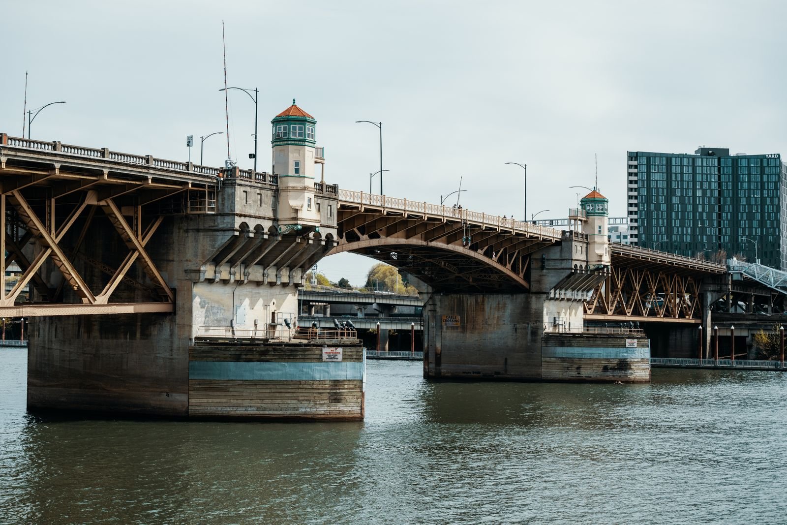
Ask a visitor to name a Portland bridge and you will hear Hawthorne, Steel, maybe St. Johns if they have been out that way. The Broadway Bridge, a few blocks north of the central core, rarely makes the list. That is a shame, because it is the one that makes engineers go quiet and start pointing at things.
This is a photo walk from west to east, starting above the rooftops of Union Station and ending at the Rose Quarter. Bring a camera and a tolerance for bicycle bells.
What makes it unusual
The Broadway is a bascule bridge, meaning a drawbridge whose two leaves tilt up like a pair of arms. When it opened in 1913 it was the longest bascule span in the world. It was designed by Ralph Modjeski, one of the leading bridge engineers of his day, and it uses a mechanism called a Rall bascule that almost nobody else chose.
On an ordinary bascule, each leaf pivots on a fixed axle. On a Rall, each leaf also sits on a pair of enormous steel wheels. As the bridge opens, the leaf rolls backward along a short track while it tips up, which pulls it clear of the shipping channel. It is clever, compact, and mechanically fussy. Very few were built, and the Broadway is the longest Rall bascule still in existence.
It is also slow. An opening takes a good while longer here than on the neighboring drawbridges, and it does not happen often, so if you catch one, stay and watch.
A few plain facts
- Opened: April 1913
- Type: Double leaf Rall bascule with steel truss approach spans
- Owner: Multnomah County
- Carries: Cars, the Portland Streetcar, bicycles, and pedestrians
- Color: Red since the early 1960s. Before that it was black, like its neighbors.
Around its centennial the bridge picked up two honors. A plaque on the bridge records its Outstanding Civil Engineering Achievement award, and in November 2012 it was listed on the National Register of Historic Places.
The streetcar leaves, then comes back
Streetcar tracks were built into the original deck, because in 1913 that was how people in Portland got around. The tracks came out in 1940 as buses took over.
Seventy years later the city put them back. A deck replacement in 2010 included new rails, and when the east side streetcar line opened in 2012 the Broadway became the north crossing of the Portland Streetcar loop. That puts it on the short list of Portland bridges carrying rail, motor traffic, cyclists, and walkers all at once. The 1913 engineers would recognize the arrangement immediately and wonder what took us so long.
The walk, west to east
From the Lovejoy ramp, over Union Station
Start on the west approach, where NW Broadway climbs up from the Pearl District. Before you reach the river you are level with the roof of Union Station, and this is one of the best angles on it: the red tile, the brick, and the 1896 clock tower with its neon “Go By Train” sign. Look back over the station rooftops and you get the red trusses of the bridge lined up behind them.
Below you the rail yard fans out. If you are lucky an Amtrak train will be sitting at the platform, looking like a model railroad.
Albers Mill, close enough to touch
Take the north sidewalk. Just before the river, the old Albers Brothers Milling Company building comes up on your left, so near the bridge that the painted signs on its wall are mere inches from the railing. The mill went up in the years just before the bridge did and once turned out flour and breakfast cereal. It has been offices since a late 1980s renovation, but the big painted advertisements for the company’s products are still there, restored and bright.
It is an odd and wonderful thing to stand eye to eye with a wall mural four stories above the ground.
Mid span: steel and street lamps
Out over the water, slow down and look at the bridge itself.
- On the girders you can find maker’s plates reading Pennsylvania Steel Company, 1912.
- The street lamps over the walkway are ornate period fixtures, worth a detail shot against the red steel.
- Under your feet, the joint where the two leaves meet at the center is plainly visible, and you can feel the deck hum when a streetcar goes over.
Rivets everywhere. The whole bridge is a lesson in how things were put together before welding.
Looking north: the Fremont and the working harbor
From the north sidewalk the next bridge downstream is the Fremont, its long white arch framed neatly through the Broadway’s red girders. That contrast, 1913 trusswork in front of a 1973 arch, is the picture most people come home with.
Beyond it the river turns industrial. A grain elevator sits on the east bank close by, and on most days there is a ship or a barge being loaded or shuffled about in the harbor. Portland is still a port, a fact easy to forget from the downtown side.
Looking south: the Steel Bridge and downtown
Cross to the south sidewalk at the east end for the return trip, or just turn around. Upstream is the black bulk of the Steel Bridge with its double lift deck, and behind it the downtown towers. For a photo of the Broadway itself, the Steel Bridge’s lower deck walkway gives you the full red span broadside, and the riverside path in the Pearl gets you underneath it.
The east landing
The bridge comes down at the Rose Quarter, beside the Moda Center and the glass box of Veterans Memorial Coliseum. From here Broadway runs east through Irvington and on into the Hollywood District, which is why the bridge has the name it does.
When to go
Late afternoon on a clear day, when the sun is low in the west and the red paint goes almost orange. Weekday rush hours are busy with bike commuters, and the sidewalks are shared, so keep to one side when you stop to shoot.
Once in a while the county closes the bridge for repairs, as it did for a stretch in the summer of 2013. If the sidewalks stay open during a closure, drop everything and go. A Broadway Bridge with no traffic on it, just red steel and empty deck, is a rare sight and a very good photograph.
Getting there
Union Station is a five minute walk from the west end, and MAX stops at the Rose Quarter on the east. Or simply ride the streetcar loop across, get off on the far side, and walk back. The trip is about a third of a mile each way, and it is the cheapest engineering tour in town.
- portland
- broadway bridge
- willamette river
- bridges
- union station
- albers mill
- portland streetcar